Seismicity of the Carpathian-Pannonian region: updated and revised earthquake database
Abstract
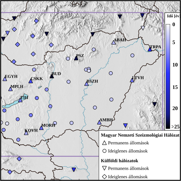
The ultimate goal of the research project 2018-2.2.1-NKP-2018-00007, funded by the National Research, Development and Innovation Office, was to create the seismotectonic model of Hungary. For this purpose, it was essential to have a reliable database of seismic events in the region. Additionally, to perform earthquake hazard assessments, a dependable, homogeneous earthquake catalog was necessary. As part of the project, the previously available catalogs were reviewed and relocated. In the first step, all digitally recorded seismic events within the area defined by the Hungarian National Seismological Bulletin (45.5°–49°E; 16°–23°W) underwent a review and relocation. To reduce catalog contamination, hundreds of artificial, anthropogenic events were removed using waveform correlation and geospatial tools. Since the country is not only at risk from earthquakes within its borders but also from larger earthquakes originating beyond the national boundaries, a catalog containing seismic events from the broader surrounding region was needed. The Kövesligethy Radó Seismological Observatory already had catalogs with historical earthquakes and instrumental data covering the entire Carpathian Basin from 456 to 2010. As part of the project, this catalog was updated until 2020, including new events and newly recalculated location coordinates. In order to maintain consistency, correlations between different magnitude types were determined, and using these correlations, the moment magnitudes were estimated. This approach ensures a standardized and coherent representation of earthquake magnitudes within the seismic catalog. The resulting catalog contains a total of 82,642 events until the end of December 2020, with depth data available for approximately 60% of them. The region is mainly characterized by shallow crustal earthquakes, but the highly active Vrancea zone shows a significant number of intermediate-depth earthquakes. Although the new catalog and the corresponding seismicity map do not significantly alter our understanding of seismicity, they serve as a valuable database for future analyses and provide a more reliable basis for earthquake hazard assessments.


