Shape of the Earth and geodynamics
overview of the Doppler measurements at the Department of Geophysics of ELTE in the 1960s and their importance
Abstract
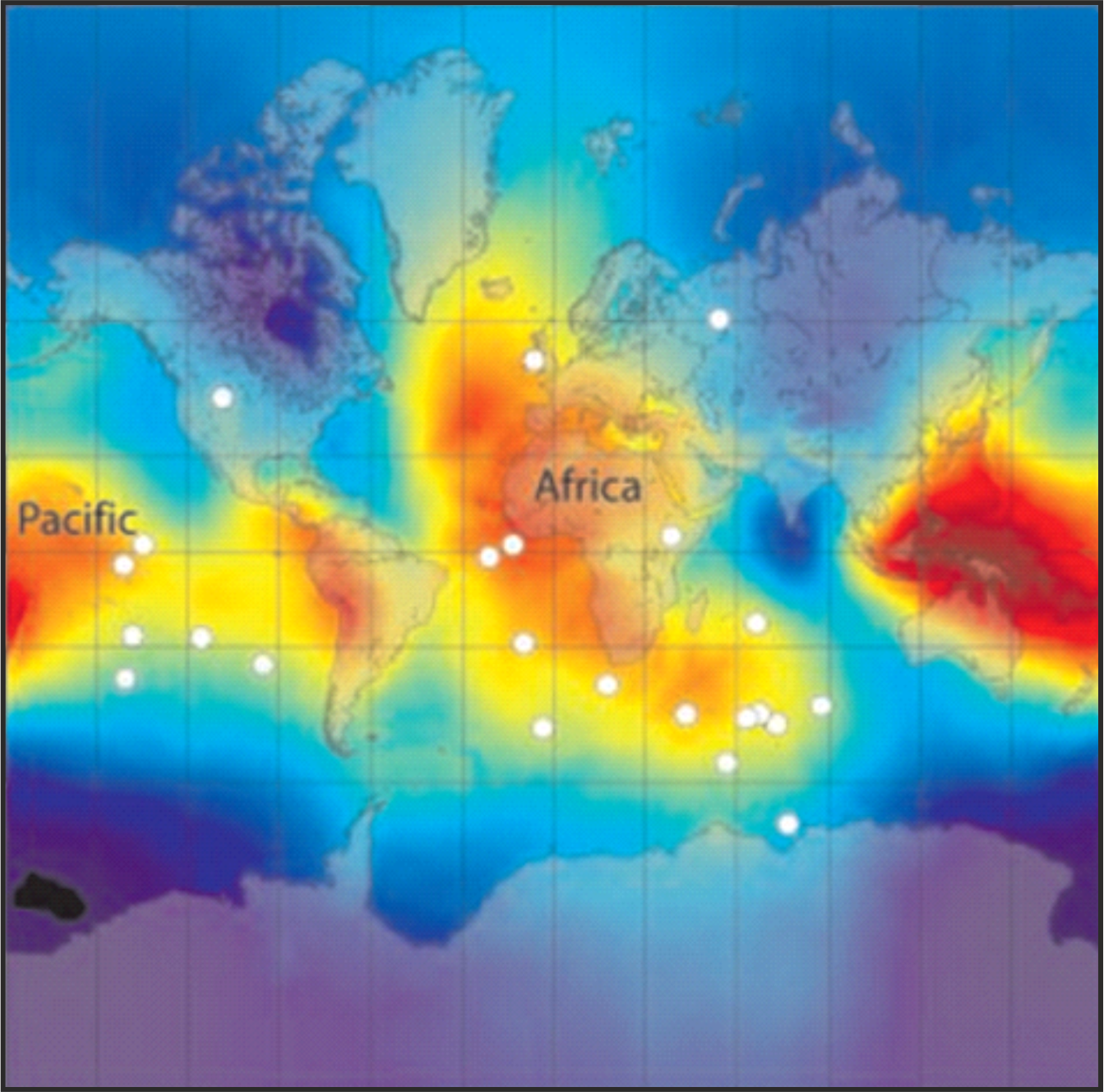
The Hungarian Doppler geodesy measurements have been started in the mid-1960s, as a cooperation of the newly founded Space Research Group of the Department of Geophysics of the ELTE Eötvös University and the Budapest University of Technology, with significant contribution of students. The goal of these studies was to determine coordinates of distinct terrain points in an Earth-centered Earth-fixed geodetic coordinate system. The accuracy of the coordinate determination was in the same range as the locating of the control stations of the American space programs in the Mercury datum. This project was the kickoff of the research career of Frank Horvath. We also show, how the space geodesy contributed even in this early period to the understanding the dynamic structure of the planet Earth.


